Additional information
| Lens Material | chemically strengthened glass |
|---|---|
| Dimension | 3.4" x 7.2" x 1.3" (8.76 x 18.30 x 3.27 cm) |
| Weight | 14.0 oz (397 g) with included lithium-ion battery pack |
| Water rating | IPX7 |
| MIL-STD-810 | yes (thermal, shock, water, vibe) |
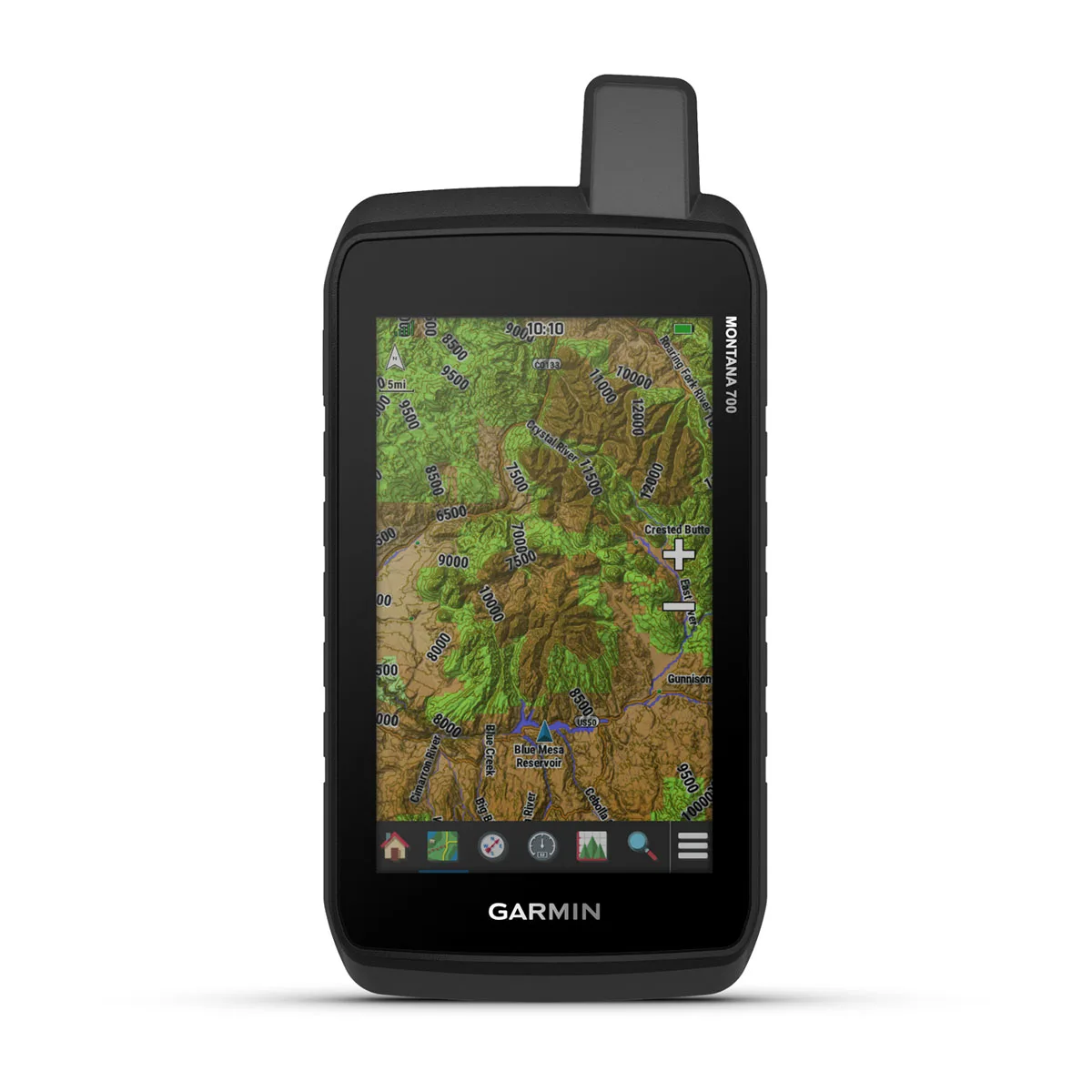
| Touchscreen | Yes |
| Display Type | WVGA transflective, dual orientation |
| Display Size | 2.55"W x 4.25"H (6.48 x 10.80 cm); 5" diag (12.70 cm) |
| Display resolution | 480 x 800 pixels |
| Battery type | rechargeable lithium-ion (included) or 3 AA batteries (not included); lithium recommended |
| Battery life | GPS Mode: up to 18 hours |
| Memory/History | 16 GB (user space varies based on included mapping) |
| Interface | high speed micro USB and NMEA 0183 compatible |
| Preloaded maps | yes (TopoActive, by region; Federal Public Lands maps, U.S. only) |
| Waypoints/favorites/locations | 10,000 |
| Courses | 250, 200 course points per course |
| Tracks | 250 |
| Navigation Routes | 250, 250 points per route; 50 points auto routing |
| GPS | Yes |
| GLONASS | Yes |
| Galileo | Yes |
| Barometric altimeter | Yes |
| Compass | Yes (tilt-compensated 3-axis) |
| Connections Wireless Connectivity | yes (Wi-Fi®, BLUETOOTH®, ANT+®) |